Seoul’s drive to rebuild and reinvent itself has yielded some quite spectacular results – and also reveals something interesting about the city’s relationship with the material legacy of its own explosive, almost uncontrolled growth. On the one hand, there’s a willingness to destroy, to sweep away and wipe clean, as was amply demonstrated when the local authorities demolished a major highway in order to excavate and restore a long-lost stream. On the other hand, there’s an openness to renewal, as I saw recently when the city elected to retain (rather than obliterate) another outdated piece of infrastructure, choosing instead to transform it into something that fits snugly within the urban fabric of a greener, more pedestrian-orientated capital.
Incidentally, I skipped over a May holiday in Japan to start writing about this June trip to Korea. No particular reason – though I suppose it’s nice to have a bit of continuity from my recent series documenting a January visit to Seoul. I’ll get back to that Japan trip in due course, hopefully before I return to the same country for yet another holiday there a few weeks from now. (^_^)
Now then, let’s flip our thoughts back to Korea, and to the ever-changing landscape of its restless capital city.
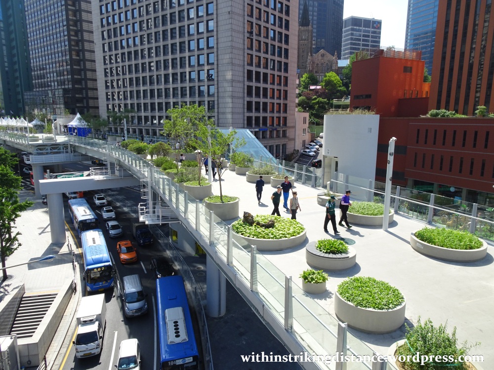
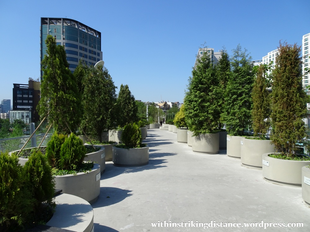
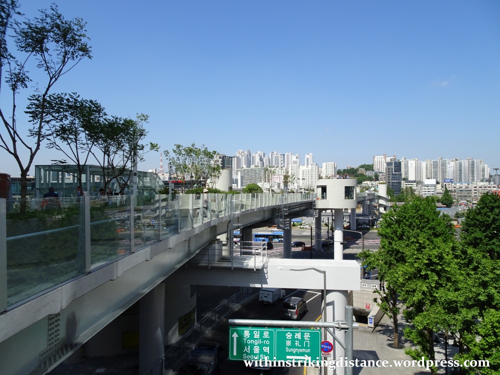
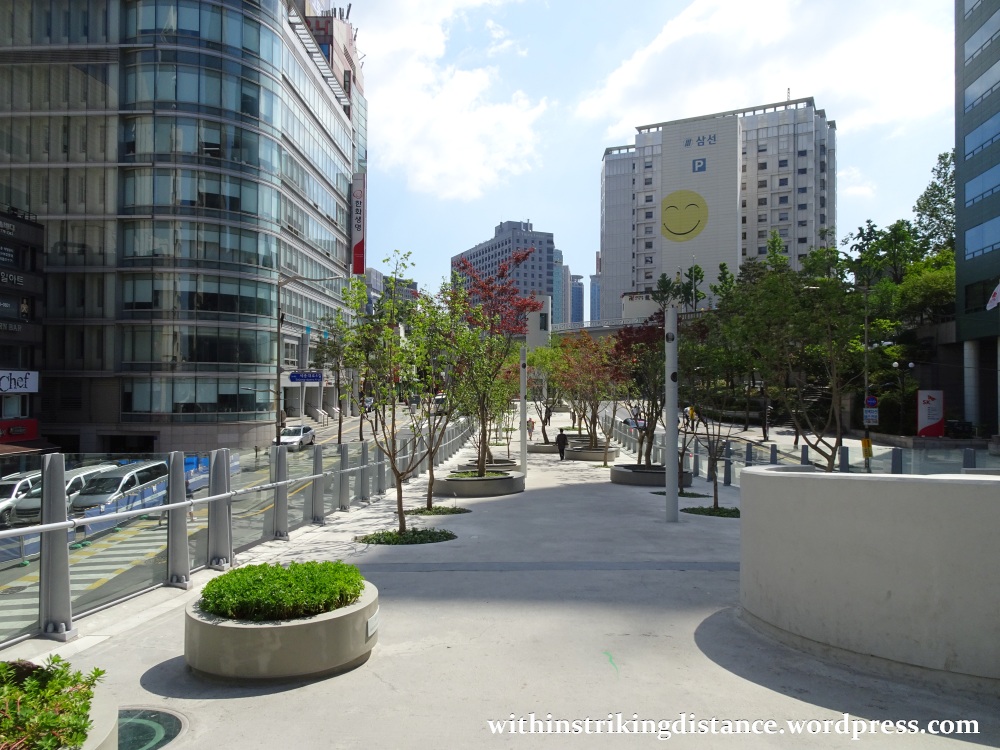
My first stop of the day was the newly opened Seoullo 7017 (서울로 7017), a former flyover turned pedestrian park. The elevated roadway, which opened to vehicles in 1970 (hence the “70” bit in the name), was originally designed to carry two lanes of traffic over the wide expanse of railway tracks leading out of nearby Seoul Station.
You can see in the following satellite view…
…how the former flyover – that grey ribbon of concrete running across the middle – links the area immediately west of Seoul Station to the districts just east of it, separated by the railway lines that pass through this major transportation hub. After more than 40 years of service, the road was permanently closed to cars in 2015, and over the next two years it was transformed into a pedestrian-friendly linear park. Rebranded as Seoullo 7017, the converted flyover officially opened to visitors on 20 May 2017 (which explains the “17” in the name).
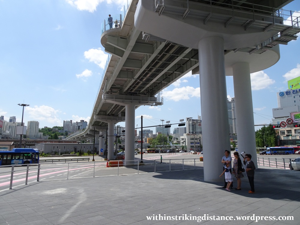
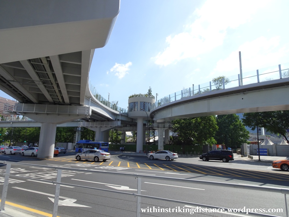
Viewed from underneath, it can be hard to imagine this as anything other than a vehicular overpass, or perhaps an elevated railway…
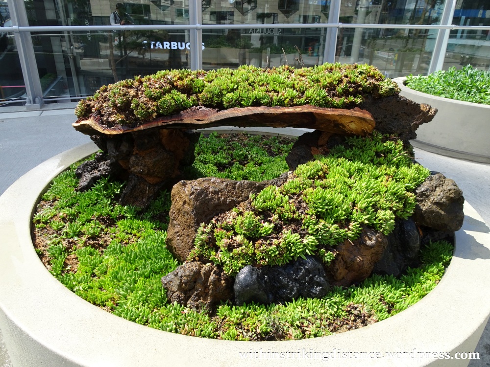
…but after taking a lift up to the former road surface, I found a garden lush with plants and sprinkled with rest stops. An oasis, if you will, raised high above the chaos and bustle of the heaving city streets below.
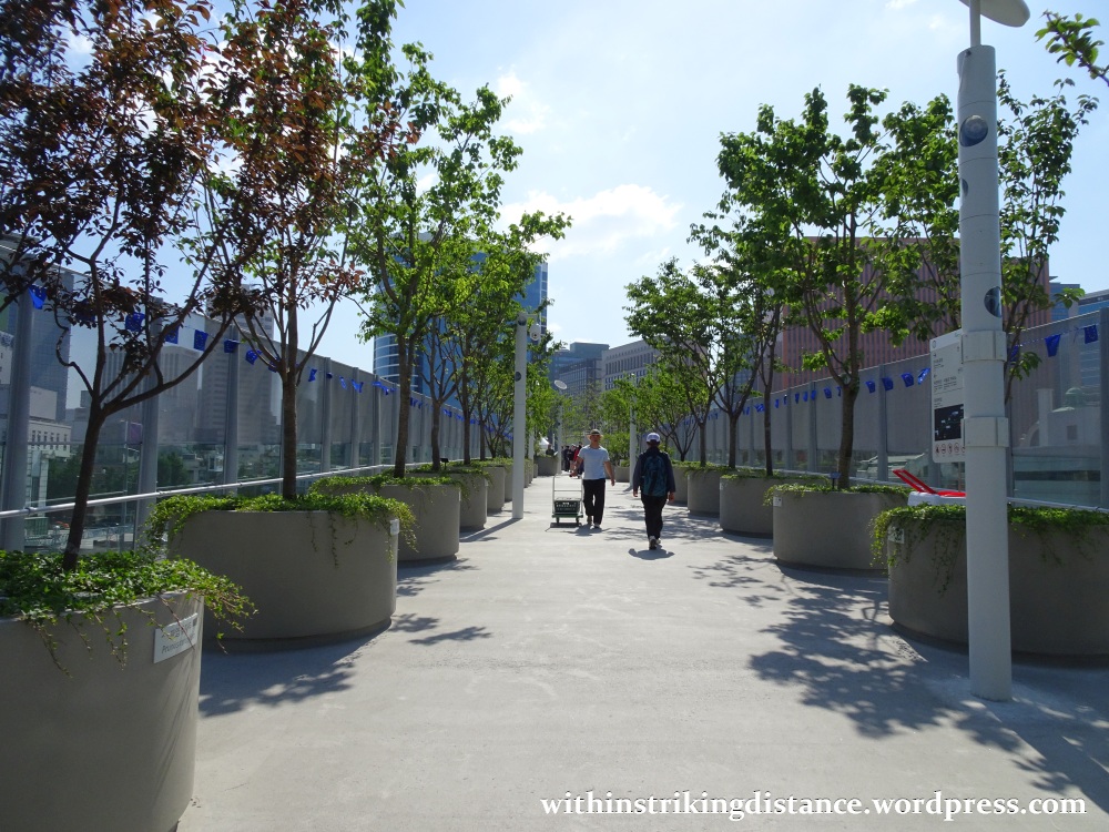
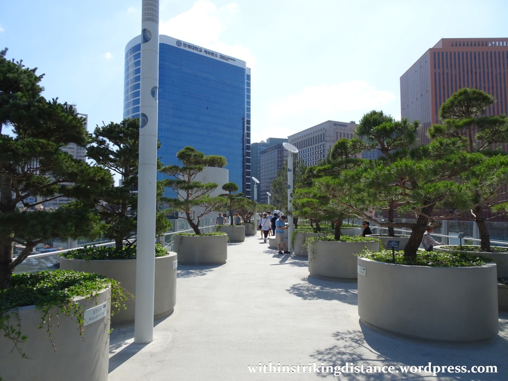
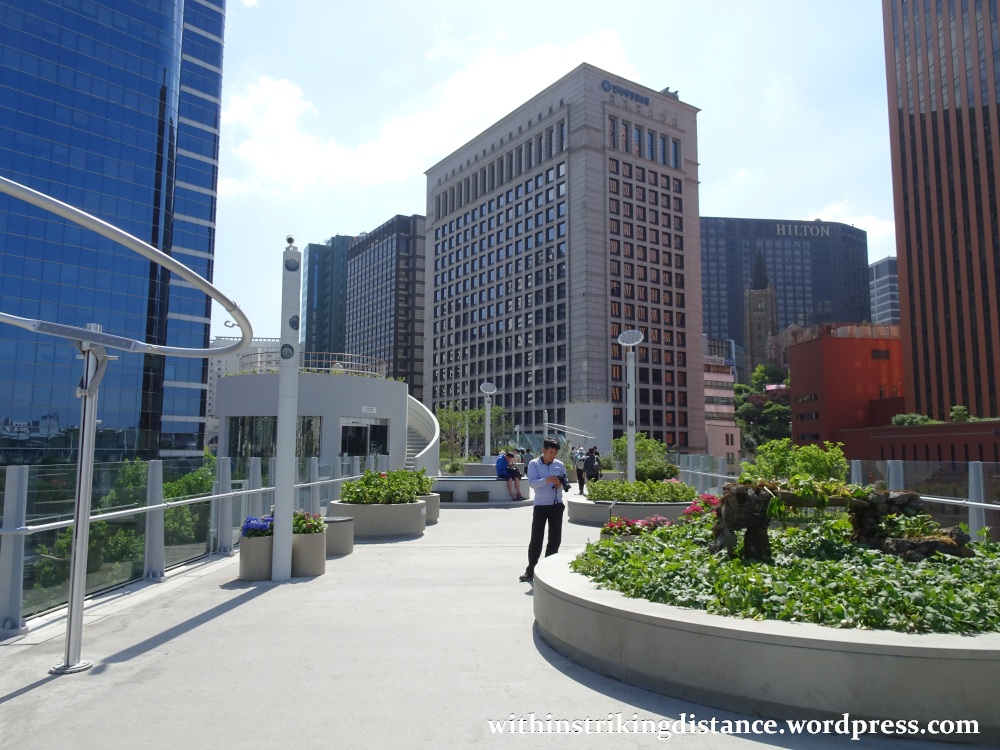

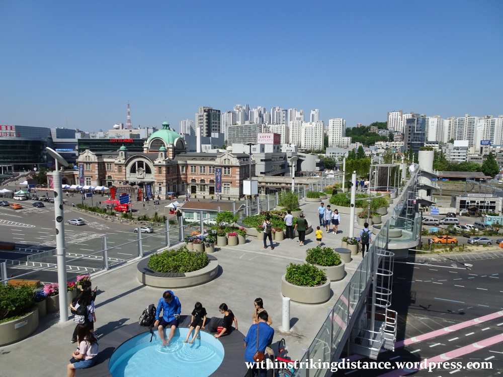
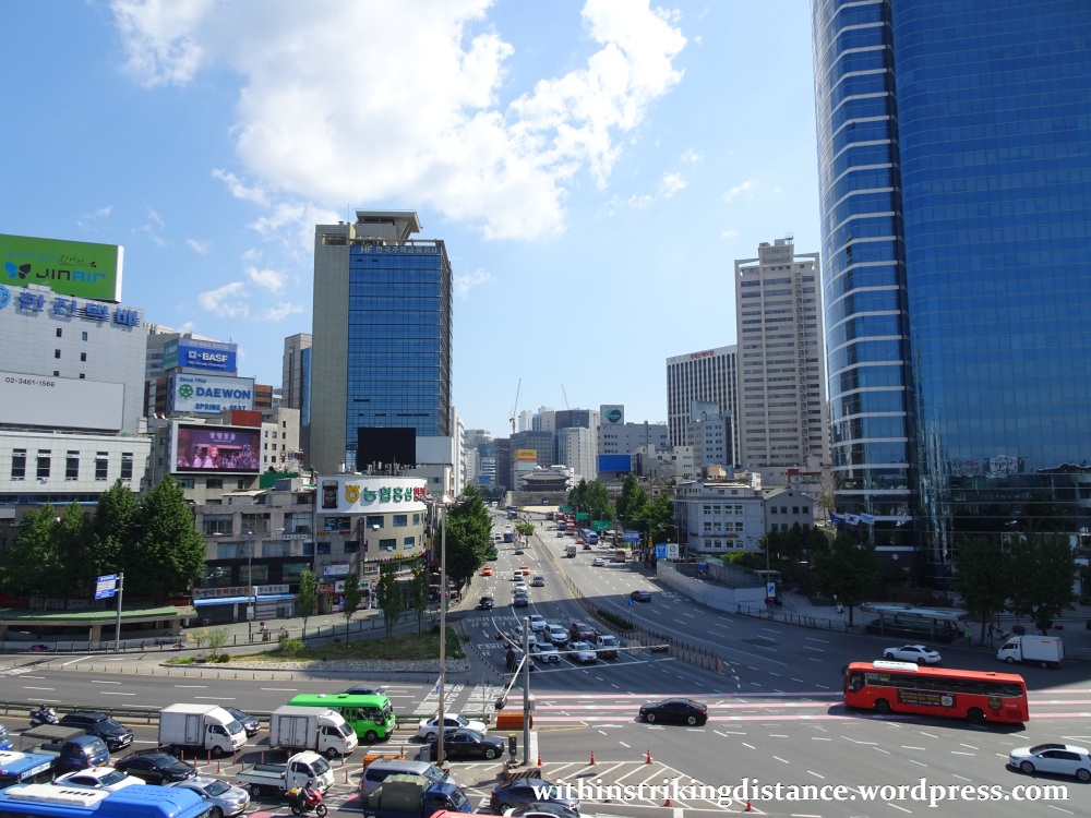
As great as the park itself was, I couldn’t ignore the fantastic views of central Seoul that can be enjoyed from this elevated, centrally located vantage point.
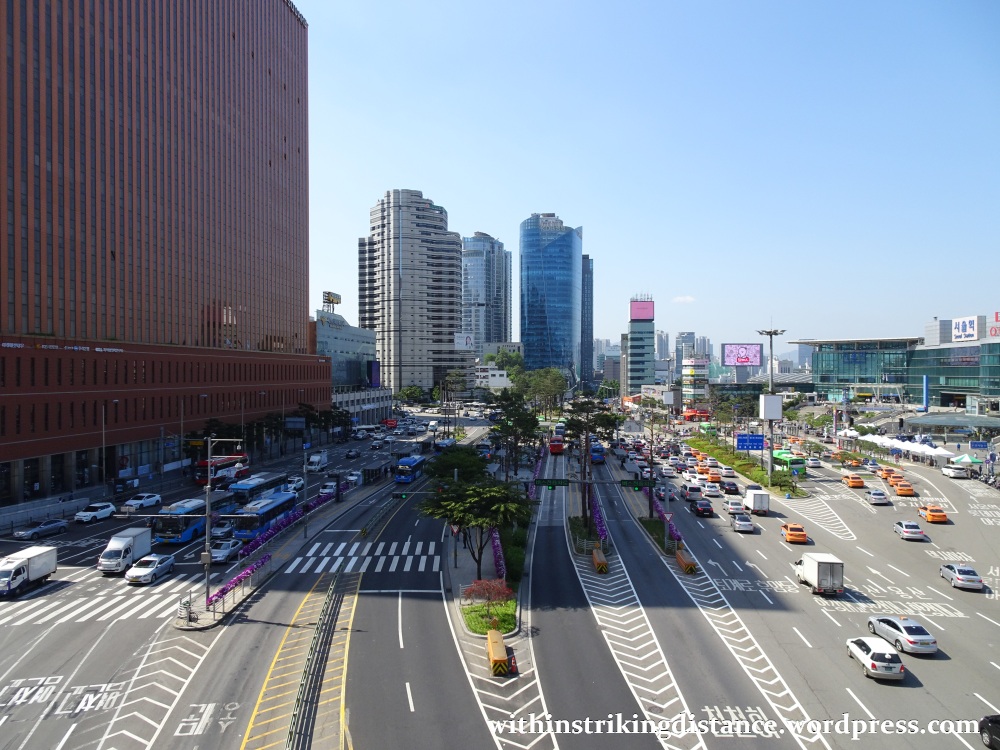
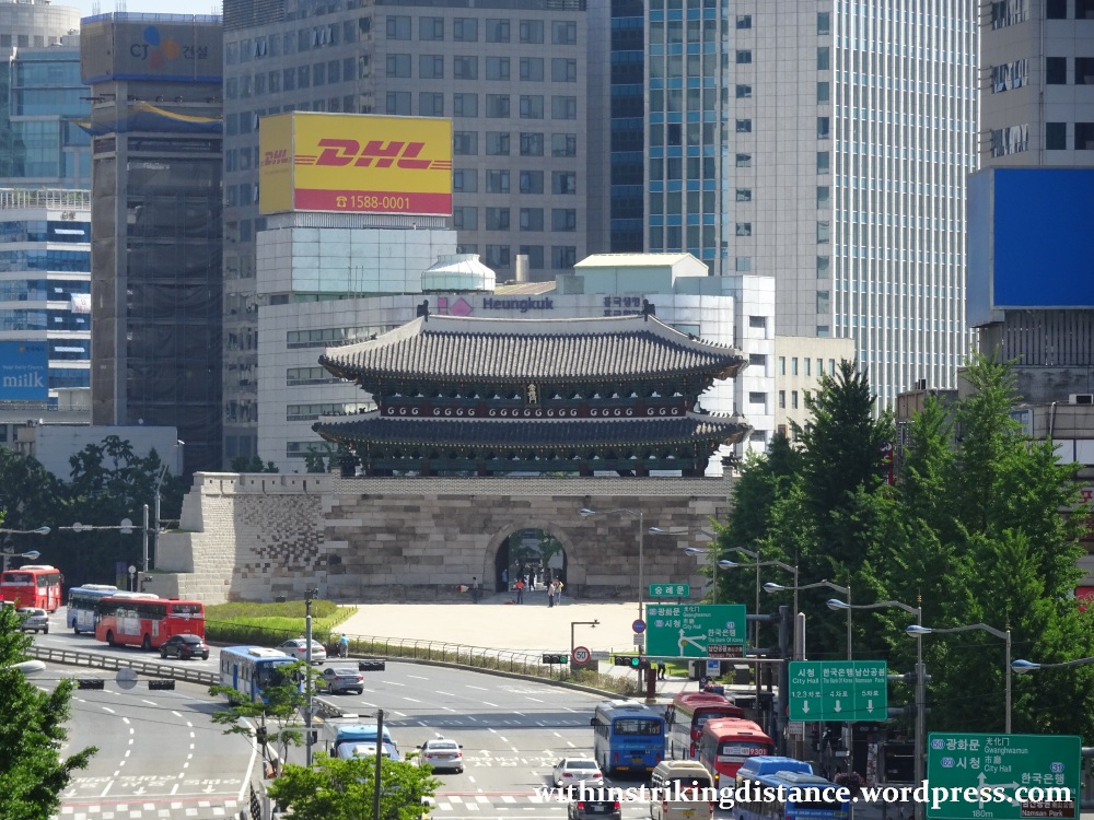
At one particular spot, it’s even possible to look straight down Sejong-daero and admire the stately magnificence of Sungnyemun – a.k.a. Namdaemun – in the distance.
Towards the eastern end, the pavement begins to dip down, following the slope of the former roadway where it gradually descends to merge with Toegye-ro.
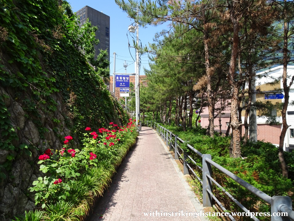
Now then, I could have followed the park all the way to the end and used the lift there to descend into Hoehyeon Station (Seoul Metro Line 4) … but the day was young. Eager for more sightseeing, I turned south into a narrow side street, walked up a short pedestrian lane…
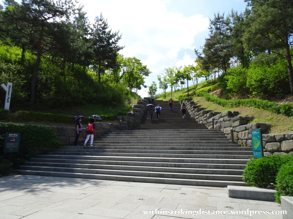
…and arrived at a broad flight of stone-paved steps: the western entrance of Namsan Park (남산공원).
I’ve been to the upper, more touristy elevations of this thickly forested mountain a couple of times before (see this previous post, for example). The soaring N Seoul Tower is of course the main landmark in those parts. Down here, in the lower western reaches of Namsan, no single structure dominates the landscape…
…though the Joseon-era Fortress Wall of Seoul (한양도성) is certainly a strong contender. Part of the wall runs across Namsan as it snakes around the city, and the old ramparts – newly restored and equipped with the conveniences of a modern park – now serve as a hiking trail along the southern edge of central Seoul.
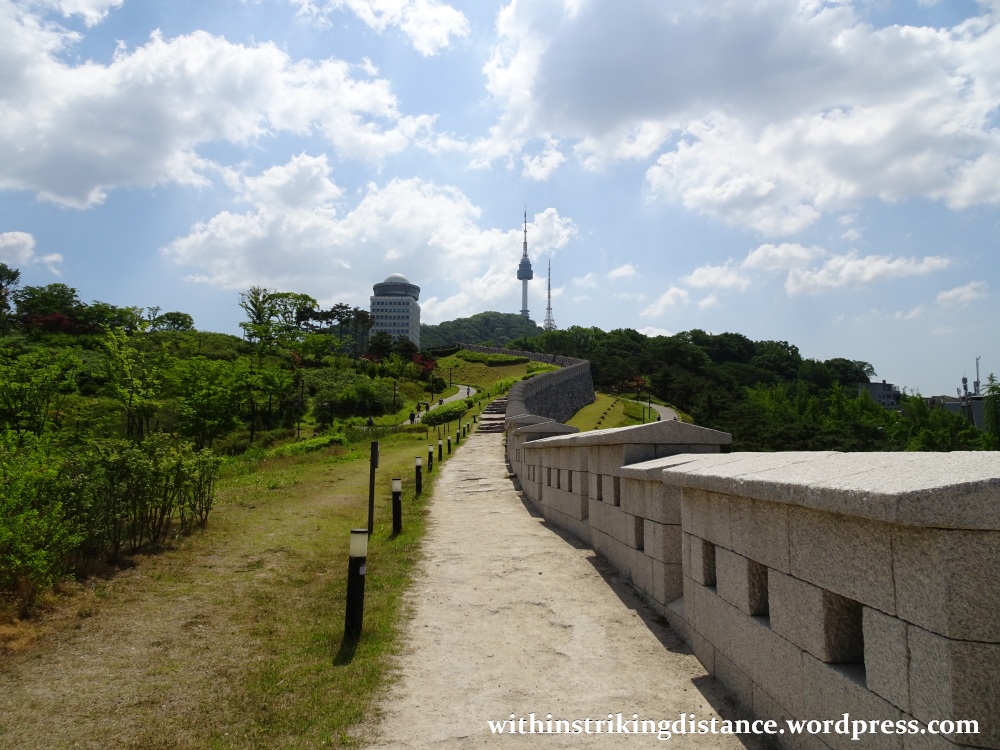
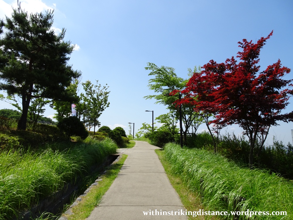
The wall-side trail got a little too steep for me at one point, so I branched off into a separate, winding trail with gentler slopes.
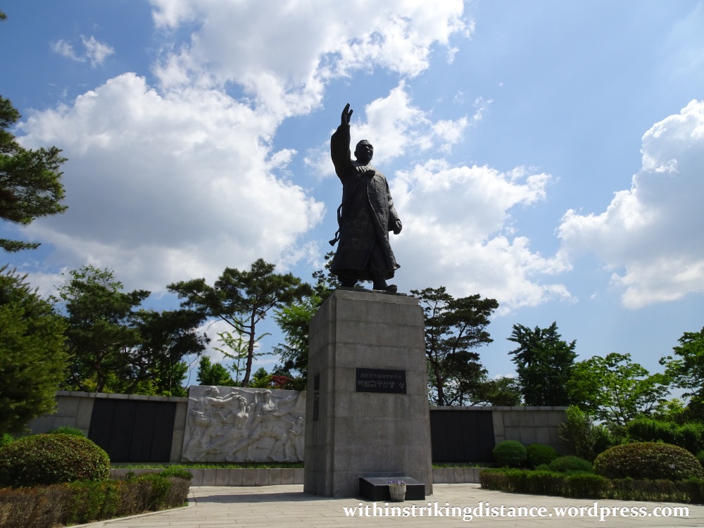
In due course, I arrived at an open green space with two large monuments to Korean patriots erected on one side.

There was a large seated statue of Lee Siyeong (1868-1953), the first Vice President of the Republic of Korea (served 1948-51)…

…and a striding statue of Kim Gu (1876-1949), a prominent figure in the Korean independence movement.
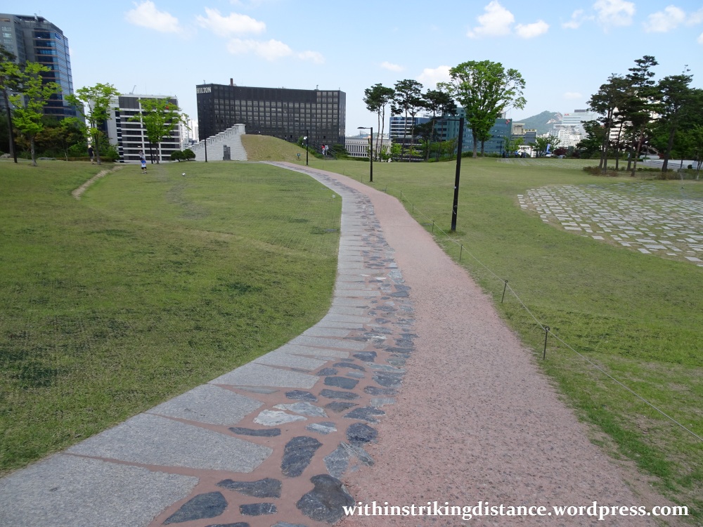
On the other side of the open space, a path traces the route once followed by Seoul’s ancient city wall, large sections of which have not yet been reconstructed.

Incidentally, the concentration of patriotic monuments in this area can’t be dismissed as mere coincidence. Back during the days of colonial rule, this area of Namsan was the site of Chōsen-jingū (朝鮮神宮), a Shintō shrine completed in 1925 and ranked amongst the most senior state-supported shrines of the Japanese Empire.
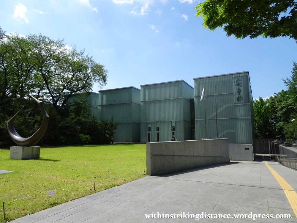
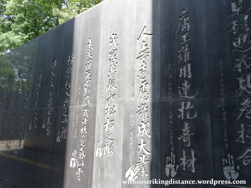
The shrine was demolished after Korea’s liberation in 1945. As a final act of revenge against their former colonial master, the Korean nation definitively reclaimed the site by constructing the Ahn Jung-geun Memorial Hall (안중근의사기념관) on the spot where Chōsen-jingū once stood. A member of the Korean independence movement, Ahn Junggeun is perhaps best known for assassinating the prominent Japanese statesman Itō Hirobumi in 1909.
The original memorial hall was inaugurated in 1970 – which, interestingly enough, is the same year in which the former flyover near Seoul Station (now Seoullo 7017) opened for service. This was replaced in 2010 by the modern glass-walled structure we see today.
I could have continued the hike up to the top of Namsan, and even further beyond … but since I wasn’t in a particularly self-destructive mood I decided to call it a day. Back down I went, this time following a different path along the outer face of the fortress wall – all the better to admire these impressive fortifications at their full height.


Cheerio.

2 thoughts on “Field Report: Walking from Seoullo 7017 to Namsan, Seoul, South Korea (03 June 2017)”